Land Surveying
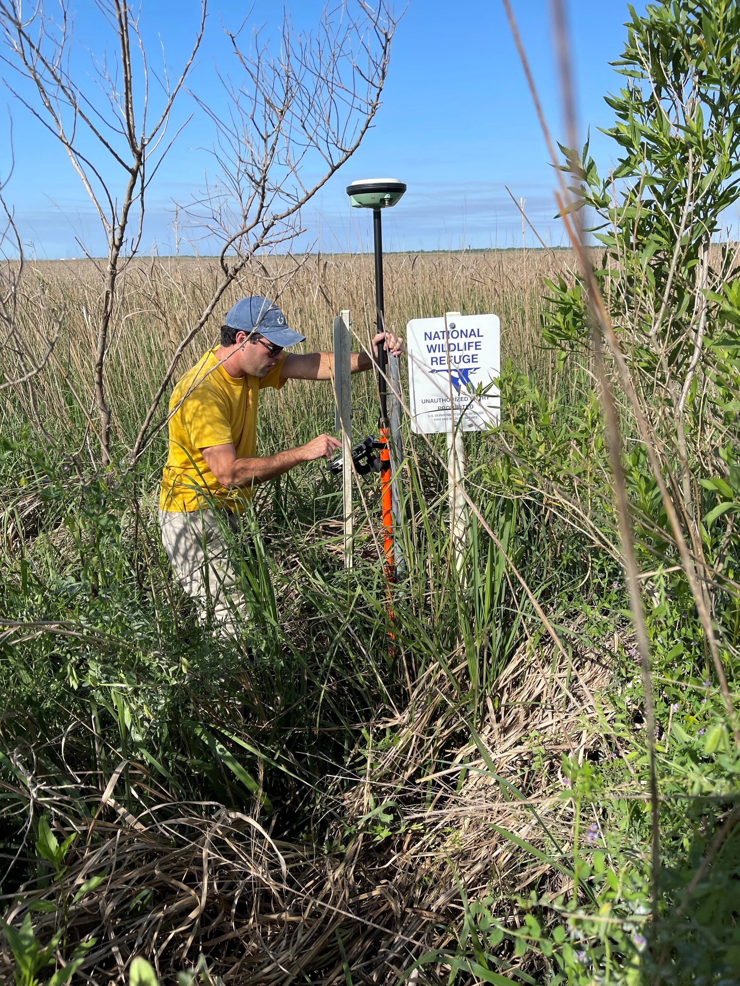
At Basin Engineering & Surveying, we pride ourselves on providing a comprehensive range of land surveying services, utilizing cutting-edge Leica Equipment. Our use of RTK GPS through the Leica SmartNet GPS Network and Robotic Total Stations ensures precision and efficiency in every survey. Whether navigating rugged terrains or flat landscapes, our experienced crews are adept at performing fieldwork across all forms of topography. Trust us to deliver accurate and reliable land surveying services.
Boundary Surveying
Topographic Surveying
ALTA/NSPS Land Title Surveys
Hydrographic Surveying
Construction Layout